



In 2001, forest cover in Nepal’s Khata corridor stood at roughly 1.15 km². Two decades later it was about 96.57 km². That single strip of regrown forest, running between Bardia National Park and Katerniaghat Wildlife Sanctuary across the India border, is the clearest evidence Nepal has that habitat connectivity can be rebuilt rather than merely defended.
This article explains what the Terai Arc corridors are, how restoration actually worked, what the camera trap and genetic data show about animal movement, where the costs fall on the communities living inside these corridors, and which claims about the whole effort remain unproven.
What the Terai Arc Landscape is
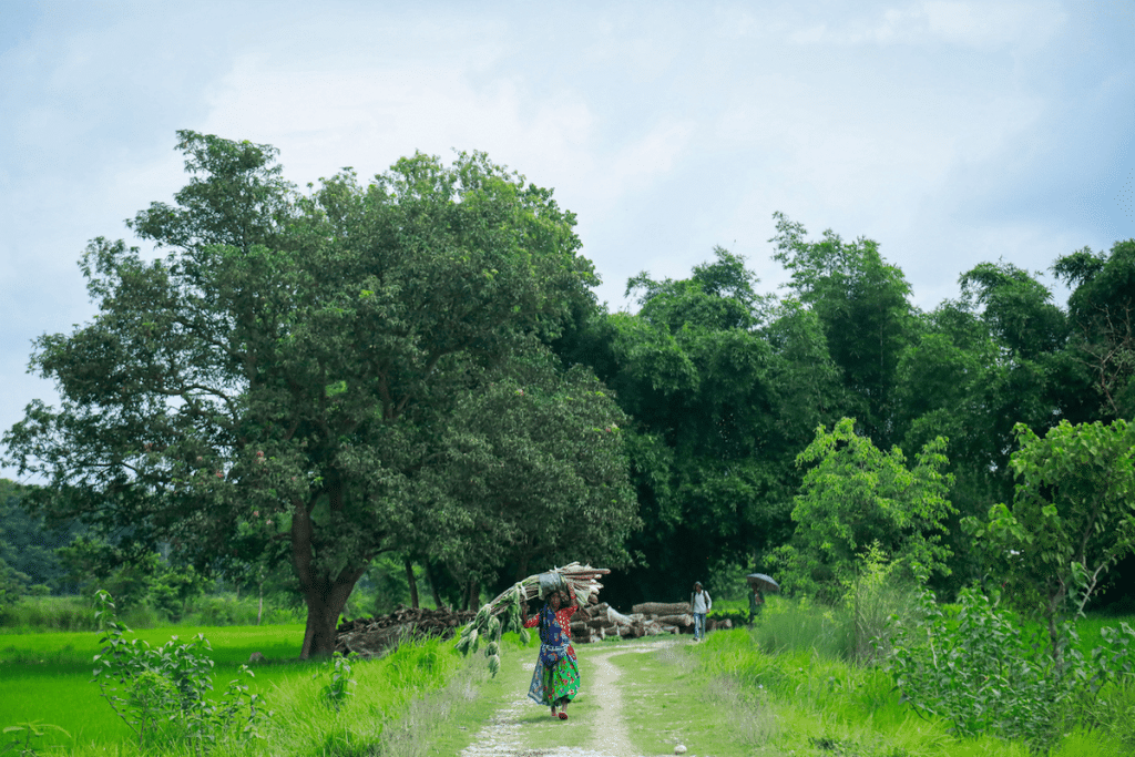
Rewilding the Terai Arc corridor describes a set of linked restoration efforts across a landscape that straddles two countries. Nepal’s portion of the Terai Arc Landscape covers 24,710 km², taking in six protected areas along with community forests, farmland and wetlands, according to WWF Nepal. On the Nepali side those protected areas are Parsa, Chitwan, Bardia, Banke and Shuklaphanta national parks plus the Krishnasaar Conservation Area. Across the border in India the landscape connects Valmiki Tiger Reserve, Dudhwa National Park, Pilibhit Tiger Reserve and the Sohagi Barwa, Suhelwa and Katarniaghat wildlife sanctuaries.


Nepal’s government conceptualized the landscape approach in 2001, based on a tiger dispersal model. Logic behind it is straightforward. Protected areas in the Terai are mostly too small to hold genetically viable populations of large carnivores on their own, so the long-term question is not how many tigers sit inside each park but whether animals can move between them.
The named corridors
Seven corridors are named on the Nepali side: Barandabhar, Khata, Basanta, Laljhadi-Mohana, Brahmadev, Kamdi and Karnali. Published counts vary, with some WWF material referring to eight corridors and two bottlenecks while naming seven, and the number of protected areas in the landscape is also cited inconsistently. Those discrepancies are worth noting rather than papering over.
| Corridor | Total area | Forest cover | Connects |
|---|---|---|---|
| Khata | 202.39 km² | 96.57 km² | Bardia NP (Nepal) to Katarniaghat WS (India) |
| Kamdi | 667.36 km² | 524.41 km² | Banke NP (Nepal) to Suhelwa WS (India) |
| Karnali | 148.95 km² | 111.37 km² | Chure forest and Bardia NP to Katarniaghat WS |
| Barandabhar | 109.13 km² | 99.18 km² | Chitwan NP north to the Chure and Mahabharat ranges |
Figures above come from WWF’s corridor assessment for the Terai Arc Landscape. Comparable published area and forest cover data for Basanta, Laljhadi-Mohana and Brahmadev were not available in the source consulted, so those corridors are left out of the table rather than estimated.
How the restoration actually worked
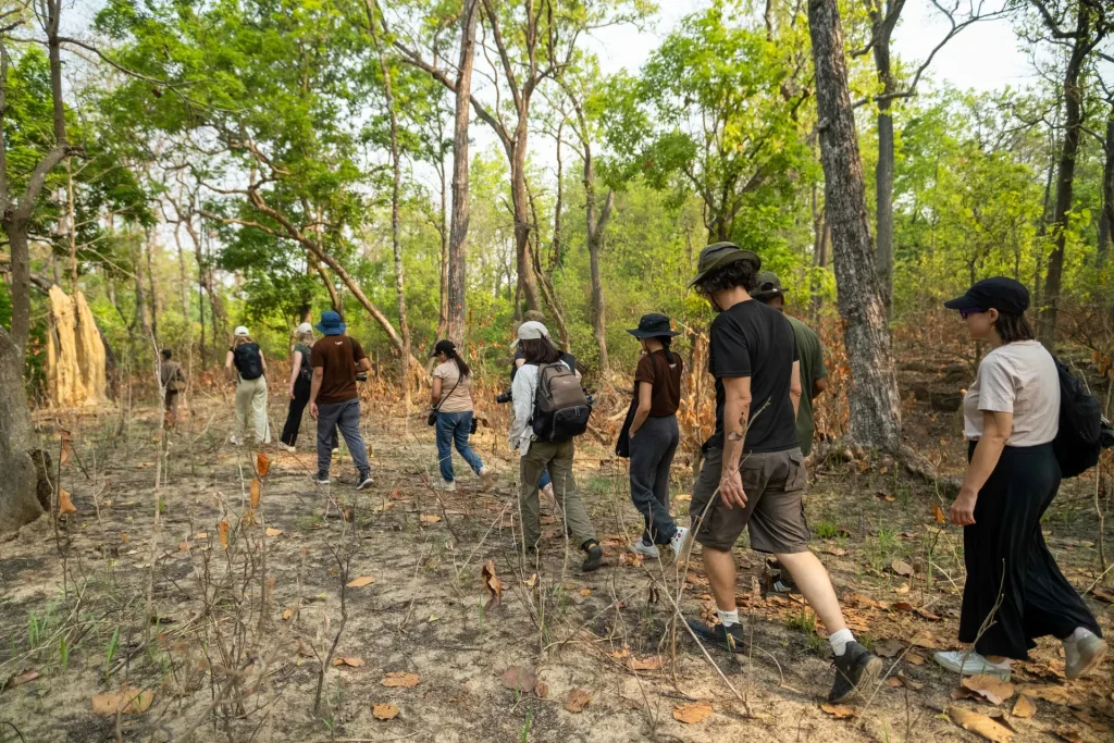
Most coverage attributes the recovery to fencing, planting and enforcement. Mechanism was mostly different, and more interesting.
Nepal’s community forestry system, formalized in the 1990s, transfers management rights over defined forest patches to Community Forest User Groups. In corridor areas, that legal handover is what made regeneration possible, because it gave specific households a documented stake in forest condition. Khata corridor is managed through 74 community forests under the Divisional Forest Office in Bardia. In the Karnali corridor, more than 99.26 km² of community forest passed to 80 user groups over two decades.
Kamdi shows the same pattern at larger scale. There, 141 user groups were networked into three Community Forest Coordination Committees in 2008, and 140 Community Based Anti-Poaching Units were mobilized between 2010 and 2020. About 4.48 km² of floodplain was restored between 2015 and 2020. Kamdi’s threat rating was lowered from “Very High” to “High” in a 2017 follow-up assessment.
Alternative energy as a conservation tool
Fuelwood collection is the quiet driver of corridor degradation across the Terai. Biogas digesters, improved cookstoves and electrification reduce it. WWF estimates fuelwood savings from alternative energy in the Karnali corridor as equivalent to nearly 10 km² of forest. Treat that as a calculated equivalence rather than a measured area, because it converts an energy figure into a forest figure using assumptions about consumption rates.
What the wildlife data show
Tiger numbers inside the connected parks rose sharply during the corridor restoration period. Bardia went from 18 tigers in 2013 to 87 in 2018, and Banke from 4 to 21 over the same interval, according to WWF’s corridor report. Nationally, Nepal counted 355 tigers in 2022, more than 190 percent above the 2009 figure, and 752 greater one-horned rhinos in the 2021 census, with 694 of those in Chitwan.
A caution belongs here. Correlation between corridor work and tiger recovery is strong, but anti-poaching enforcement, army deployment inside parks, prey base recovery and grassland management all improved during the same years. Attributing the rise to corridors alone would overstate what the data can carry.
Evidence of actual movement
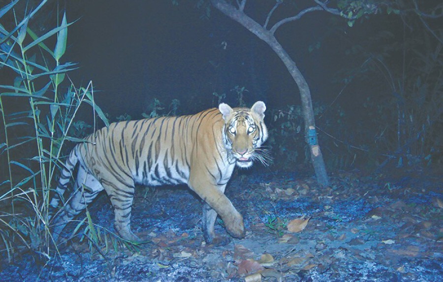
Movement, not just numbers, is the thing corridors are built for. Peer-reviewed work supports it. A 2023 study in Ecology and Evolution by Bhatt and colleagues identified least-cost corridors among Nepal’s tiger-bearing protected areas, and earlier research published in PLOS ONE found evidence for metapopulation dynamics across the Terai Arc, meaning subpopulations in separate reserves function partly as one connected population through dispersal. Joint Indo-Nepal monitoring of tigers across the transboundary landscape has also documented animals using both sides of the border.
Dispersing tigers are mostly young males, which matters for interpretation. Male dispersal moves individuals; gene flow into a population requires breeding females to establish in new areas, which happens more slowly and is harder to detect. Claims that corridors have “restored gene flow” across the landscape run ahead of the published evidence.
The cost borne by people inside the corridors
Corridors are not empty land. They contain farms, settlements, schools and roads, and the households living there absorb the consequences of more wildlife moving through.
Communities across these corridors include Tharu households, who have lived in the Terai far longer than the parks have existed, alongside hill-origin migrant families who settled after malaria control opened the lowlands from the 1950s, plus Madhesi and Dalit households whose land holdings are often smallest and most exposed. Experience of a corridor differs substantially between these groups, and so does the ability to absorb a lost crop.
Research published in Oryx asked directly whether corridors are good for tigers but bad for people, using the Khata corridor as its case. Question is not rhetorical. Crop raiding by elephants, livestock loss to leopards and tigers, and human injury and death are real costs concentrated on households nearest the forest edge, while the benefits of tourism and carbon finance are distributed more widely and more slowly.
Nepal operates a wildlife damage relief scheme, and community forest groups capture some tourism revenue. Whether compensation reaches affected households quickly enough, and at levels that match actual losses, is contested. Anyone writing about corridor success without addressing this is describing half the system.
Pressures that could undo it
Infrastructure
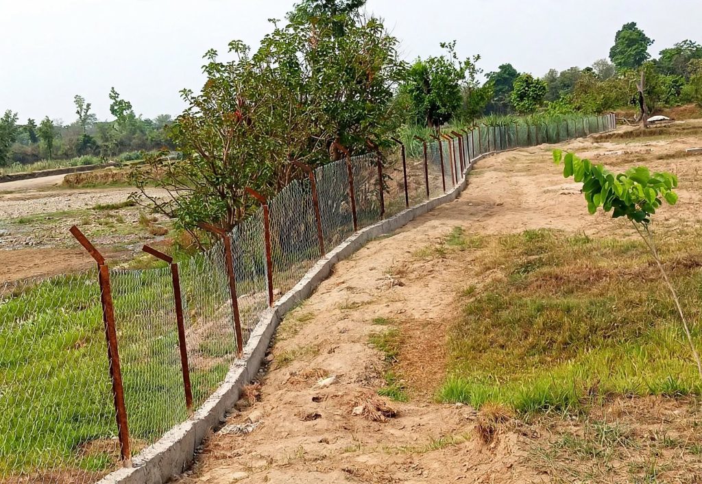
Linear infrastructure is the main structural threat. Road widening, the Postal Highway along the southern Terai, railway proposals and transmission lines cross corridor forests. Mitigation exists, including underpasses and overpasses, but retrofitting is far more expensive than designing connectivity in from the start, and alignment decisions are frequently made before ecological assessment.
The Chure above
Corridors depend on the Chure, the soft-sedimented Siwalik range rising behind the Terai. Chure forests feed groundwater recharge that keeps lowland wetlands and streams alive. Sand and boulder extraction, quarrying and forest loss there degrade corridor habitat indirectly. Nepal launched the President’s Chure Conservation Program in 2011, implemented through the Chure Tarai-Madhesh Conservation Development Board, with mixed results according to critics.
Funding
Conservation financing in Nepal has tightened. Reporting in 2025 noted that a budget shortfall following the USAID funding pullout, combined with political disruption, delayed Nepal’s national tiger and rhino counts, with the tiger survey pushed to a December start and the rhino count to March. When monitoring slips, the evidence base for every claim in this article gets thinner.
What would count as real success
Forest cover and tiger counts are the metrics that get reported. Better indicators exist, and most are not yet routinely collected:
- Breeding females establishing territories inside or beyond corridors, not just transient males passing through
- Genetic evidence of gene flow between subpopulations over multiple generations
- Use of corridors by species other than tigers, including elephants, sloth bears and small carnivores
- Human-wildlife conflict incidents per household trending down, not just absolute forest area trending up
- Compensation claims paid within a defined period
If you are planning to see this landscape, our Bardia National Park safari guide and Chitwan National Park guide cover the two anchor parks. For the eastern wetlands, see our piece on Koshi Tappu Wildlife Reserve. Our guide to Nepal’s tiger parks explains where sightings are realistic, and Tharu festivals of the Terai covers the cultural calendar of communities living across this landscape.
Frequently asked questions
What is a wildlife corridor, exactly?
A strip of habitat that links two larger habitat blocks, allowing animals to move between them. In the Terai Arc these are mostly forest patches between national parks, much of it managed as community forest rather than strictly protected land.
How many corridors does Nepal’s Terai Arc Landscape have?
Seven are consistently named: Barandabhar, Khata, Basanta, Laljhadi-Mohana, Brahmadev, Kamdi and Karnali. Some published material refers to eight corridors plus two bottlenecks, so counts differ depending on the source.
Do tigers actually cross between Nepal and India?
Yes. Joint Indo-Nepal monitoring and peer-reviewed connectivity studies document movement across the border, particularly through the Khata corridor between Bardia and Katarniaghat. Frequency varies by corridor and year.
How many tigers and rhinos does Nepal have?
Nepal recorded 355 tigers in its 2022 count and 752 greater one-horned rhinos in 2021. Fresh counts for both were planned but have been delayed by funding and political disruption, so newer figures may change the picture.
Who manages the corridor forests?
Mostly Community Forest User Groups, under Divisional Forest Offices, rather than the national park authority. Khata alone involves 74 community forests, and the Karnali corridor more than 80 user groups.
Is corridor restoration bad for local farmers?
It carries real costs for households at the forest edge, including crop damage, livestock loss and risk of injury. Research in Oryx examined this question directly in the Khata corridor. Compensation schemes exist, but their adequacy and speed are disputed.
What is the biggest threat to these corridors now?
Linear infrastructure crossing corridor forest, degradation in the Chure range above the Terai, and reduced conservation funding. Each operates on a different timescale, which makes them hard to address through a single policy.
Can visitors see corridor areas?
Community forests within corridors are not generally managed for tourism in the way national parks are, and some host community homestays. Wildlife viewing is concentrated in Bardia, Banke, Chitwan and Shuklaphanta. Entering corridor forest independently is not advisable given elephant and tiger presence.
Before you go
Connectivity is slow work with no finish line, and it is easier to lose than to build. If you found this useful, save it for your trip planning and share it with someone interested in how conservation actually functions on the ground. Follow NepalVue for continued reporting from Nepal’s landscapes and the communities inside them.
External references used in this article: WWF Nepal on the Terai Arc Landscape and PLOS ONE on tiger metapopulation dynamics in the Terai.


