



Most trekkers heading into eastern Nepal book Makalu Base Camp and never glance sideways at the river cutting the ground beneath them. That river carved the deepest valley in the country, and the trail follows its shoulder for days before anyone thinks to ask its name. The Arun Valley is the great overlooked corridor of the Himalaya, a place where the crowds simply never arrived, and where the walking feels closer to how Nepal trekking was 30 years ago.
Here is what most guidebooks bury in a footnote: the Arun is not a single fixed route. It is a region, a river system, and a cultural crossroads all at once, and you can experience it as a gentle week among terraced villages or a lung-burning haul toward 8,000 meter giants. The choice is yours.
Where the Arun Valley actually is
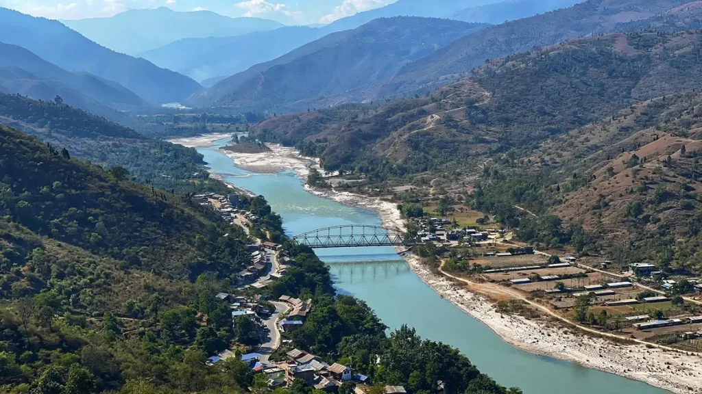
Tucked into eastern Nepal between the Everest and Makalu massifs, the valley runs roughly north to south along the Arun River, one of the oldest rivers in the world. Geologists believe it predates the Himalaya itself, having cut its channel faster than the mountains could rise around it. That gives you a gorge of staggering depth, dropping from snow peaks above 8,000 meters down to riverbeds sitting at just a few hundred meters.


Access starts at Tumlingtar, a small town at around 450 meters that has a domestic airstrip. Flights from Kathmandu take about 40 minutes and, when the weather cooperates, they save you a brutal 14 to 16 hour bus ride over rough eastern roads. From Tumlingtar the trails fan out. Some head north into Makalu Barun National Park. Others climb west over Salpa Pass toward the Everest region, threading through villages that rarely see a foreign face.
The people you meet along the way
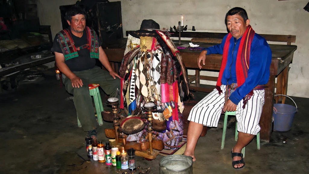
Culture is the reason to come here, not just the mountains. Walk the lower Arun and you pass through Brahmin and Chhetri farming settlements first, their homes painted ochre and white, their fields stacked in terraces that look hand stitched into the hillside. Climb higher and the mix shifts to Rai and Limbu communities, indigenous groups with their own languages, shamanic traditions, and a fierce reputation as some of Nepal’s finest soldiers.
Higher still, near the alpine zones, Sherpa villages appear with their prayer flags and stone gompas. You will hear four or five distinct languages in a single day of walking. Hospitality here is not a performance for tourists. It is simply how people live, and a cup of hot millet tea handed to a stranger on a cold afternoon means exactly what it looks like it means.
Wildlife and the wall of green
Makalu Barun National Park protects the upper reaches of the valley, and its biodiversity is genuinely world class. According to the Nepal Tourism Board, the park shelters endangered red pandas and snow leopards, along with Himalayan black bears, clouded leopards, and langur monkeys. The Arun River holds 84 varieties of fish, including salmon. Birdlife is extraordinary too, with around 400 recorded species drawing serious birdwatchers from across the world.
Plant lovers are spoiled. The park counts 47 species of orchids and, remarkably, 25 of the 30 rhododendron varieties found anywhere in Nepal. Time your trek for late March into April and the rhododendron forests explode into red, pink, and white. Few sights in the Himalaya match a hillside of blooming rhododendron with a snow peak floating behind it.
The mountains you came to see
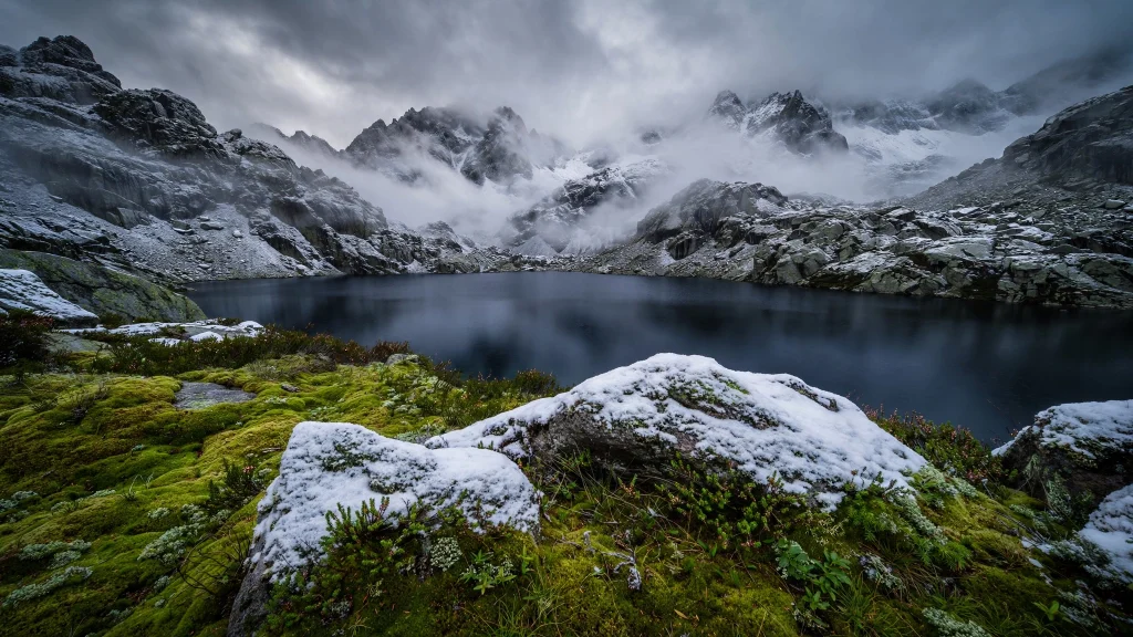
You do not trek the Arun for a single postcard summit. You trek it for the panorama. On clear mornings from the higher ridges you can line up four of the six tallest mountains on earth: Makalu at 8,485 meters, Everest at 8,848 meters, Lhotse at 8,516 meters, and Kanchenjunga at 8,586 meters far to the east. Seeing them together, in one sweep of the eye, is something the busier Annapurna and Everest trails cannot offer.
Makalu dominates the northern skyline. Its pyramid shape is unmistakable, and getting a close view of the fifth highest mountain in the world without the tea house traffic jams of other regions is a rare privilege.
Permits and paperwork for the Arun Valley
Do not show up without the right documents, because checkpoints do turn people back. If your route enters Makalu Barun National Park, you need a park entry permit. As confirmed on the Nepal Tourism Board’s official park page, the entrance fee is NPR 3,000 per person per entry for foreigners, NPR 1,500 for SAARC nationals, and NPR 25 for Nepali citizens.
Most trekkers also carry a TIMS card, the Trekkers’ Information Management System registration. Arranged through a licensed agency as part of a group, it runs about 10 US dollars per person. Solo trekkers registering individually pay closer to 20 US dollars. Rules in eastern Nepal have shifted in recent years, with some rural municipalities adding their own local permits, so confirm the current requirements with your agency before you fly. Our full Nepal trekking permits guide walks through the whole system in detail.
Bring passport photos, cash in Nepali rupees, and copies of your passport. Permit desks in remote areas do not take cards.
When to go, and when to stay home
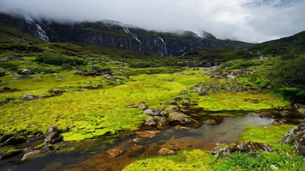
The truth is that timing makes or breaks this trek. Two windows stand out. Autumn, from October into November, gives you the clearest skies of the year, stable weather, and crisp mountain views. Spring, from March into April and early May, brings warmer days and those legendary rhododendron blooms, though lower elevations get hot and hazy by late spring.
Avoid the monsoon months of June through September unless you enjoy leeches, landslides, and clouds swallowing every view. Winter is walkable at lower elevations but the high passes get snowbound and dangerous. For a fuller breakdown of seasons across the country, see our guide on the best time to visit Nepal.
What the trek is really like
Here is where most people go wrong: they assume the Arun is a tea house trek like Annapurna. It is not, at least not once you leave the lower villages. The upper sections are remote enough that you often travel as a camping expedition, with a guide, porters, a cook, and tents. That adds cost and logistics, but it also buys you solitude that is almost impossible to find elsewhere in Nepal now.
Expect steep days. The valley’s depth means relentless up and down, sometimes descending a thousand meters to a river crossing only to climb it all back on the far side. Distances in kilometers look modest on a map and feel enormous on the legs. A typical itinerary runs anywhere from 10 days for a lower cultural loop to 20 days or more if you push toward Makalu Base Camp or link into the Everest region over Salpa Pass.
Costs vary with group size. Agency packages commonly range from around 1,575 US dollars per person for larger groups up to roughly 2,220 US dollars for a solo trekker, covering permits, guide, porters, and camping support. Compare that against the raw remoteness you get and it is fair value.
How it compares to Nepal’s famous treks
If you have done Everest Base Camp or the Annapurna Circuit and found them crowded, the Arun is your antidote. Fewer people, richer cultural immersion, and scenery that rivals anything in the country. What you trade away is comfort. There are no bakeries selling apple pie at 4,000 meters here, no wifi in every lodge, no steady stream of fellow trekkers to swap stories with over dinner.
For a sense of another wild eastern option, our Kanchenjunga trek guide covers a neighboring region with a similar off grid character. Both reward trekkers who value emptiness over amenities.
Frequently Asked Questions
How difficult is the Arun Valley trek?
It ranges from moderate to strenuous depending on your route. Lower cultural loops are manageable for reasonably fit first timers, while routes pushing toward Makalu Base Camp or over Salpa Pass demand serious stamina, thanks to the valley’s steep terrain and high daily elevation changes.
Do I need a guide for this trek?
Yes, and not only because Nepal now requires licensed guides for most trekking regions. The upper Arun is remote, poorly marked, and largely without tea houses, so a guide and support crew are practical necessities rather than luxuries.
How do I get to the valley?
Fly from Kathmandu to Tumlingtar in about 40 minutes, then start walking. The alternative is a long bus journey of 14 hours or more over rough eastern roads, which some budget trekkers still choose.
What permits do I need?
For routes entering Makalu Barun National Park you need the park entry permit, which costs NPR 3,000 per foreigner, plus a TIMS card. Some rural municipalities require additional local permits, so verify current rules with your agency before departure.
Is the Arun Valley safe for solo travelers?
The region itself is welcoming and low crime, but its remoteness makes fully independent solo trekking unwise and, in many zones, no longer permitted. Going with a guide and at least a small group is strongly recommended for safety and navigation.
What wildlife might I see?
Makalu Barun National Park protects red pandas, snow leopards, Himalayan black bears, and around 400 bird species. Sightings of the rarer animals are lucky rather than guaranteed, but the birdwatching alone justifies bringing binoculars.
Can beginners do the Arun Valley trek?
Beginners with good general fitness can handle the lower valley cultural routes, which stay at manageable elevations. The higher and longer variations are better suited to trekkers with prior Himalayan experience.
How many days should I budget?
Plan for anywhere between 10 and 20 days on the trail, plus travel days for flights and possible weather delays at Tumlingtar. Always build in a buffer, because domestic flights in eastern Nepal are frequently postponed by cloud cover.


